
Ballarat's northern growth front
A new community taking shape in Ballarat North.
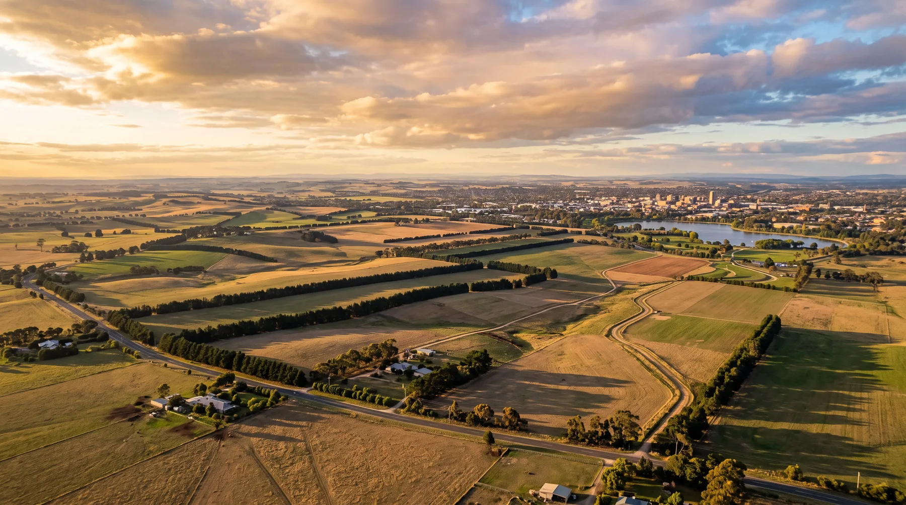
An 832 hectare draft precinct structure plan north of the Western Freeway, exhibited in late 2025 and now being finalised for the Minister. The draft plan sets out a local town centre, schools, parklands and green spine networks, about 8 km north of the Ballarat CBD and about 105 km from Melbourne.
Artist's impression - indicative only.
~832 ha
Draft precinct area
Draft PSP
Being finalised for the Minister
City of Ballarat
Local government area
~8 km
South to the Ballarat CBD
Explore the precinct
Everything you need to understand Ballarat North.
Independent, plain-English information drawn from the Victorian Planning Authority draft plan and ABS Census data.
Location
Where the precinct sits, boundary roads and distances to Ballarat and Melbourne.
View ->Development
New release land, house and land, townhomes and larger lots as the precinct rolls out.
View ->Future Plans
What the draft VPA precinct structure plan sets out, and where to read the official documents.
View ->Transport
Rail, the Western Freeway, air links and indicative commute times.
View ->Lifestyle
Parks and open space, retail, recreation and a family-first neighbourhood plan.
View ->Schools
Future school sites in the draft plan plus established schools nearby.
View ->Market
ABS Census demographics for the host suburb, with modelled growth and yield estimates.
View ->Why Here
What the precinct offers first home buyers, investors, families and upgraders.
View ->The draft plan
A precinct plan in the final stage before ministerial consideration.
Public exhibition of the draft Ballarat North Precinct Structure Plan ran from 19 September to 20 October 2025. The Standing Advisory Committee process has concluded and the Victorian Planning Authority is finalising the PSP, NVPP and DCP for ministerial consideration. The precinct is not yet approved or gazetted.
The draft plan also requires a minimum 13 per cent of new dwellings to be delivered as social and affordable housing.
At a glance
Draft- Local government area
- City of Ballarat
- Precinct structure plan
- Ballarat North PSP (draft)
- Precinct area
- ~832 hectares
- Host suburb for ABS data
- Miners Rest 3352
- Affordable housing target
- Minimum 13% of new dwellings
- Status
- Draft being finalised
No dwelling, resident or jobs figures have been published by the Victorian Planning Authority for this precinct.
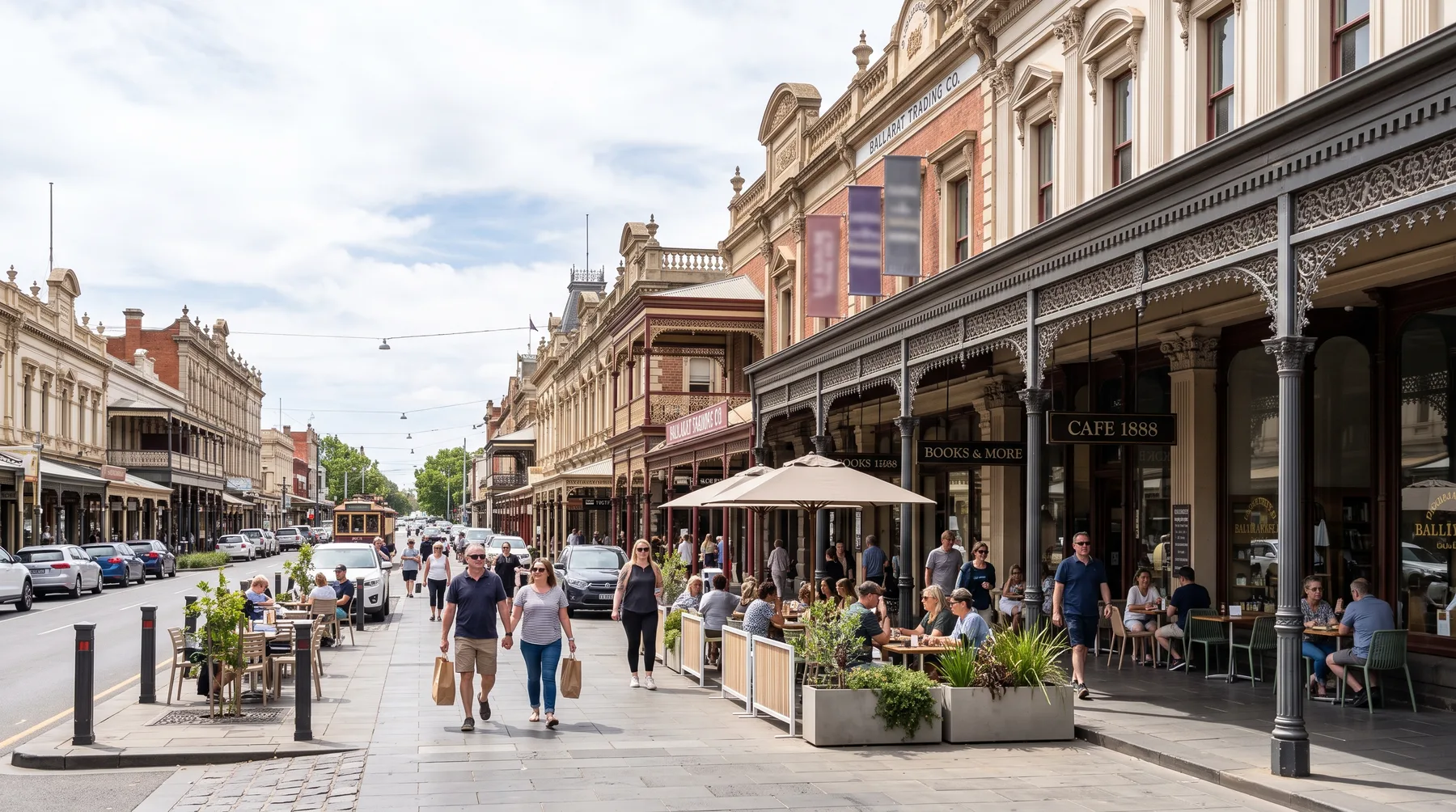
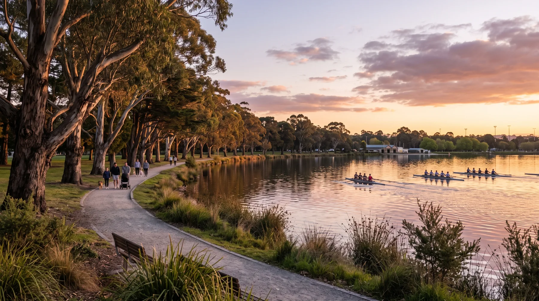
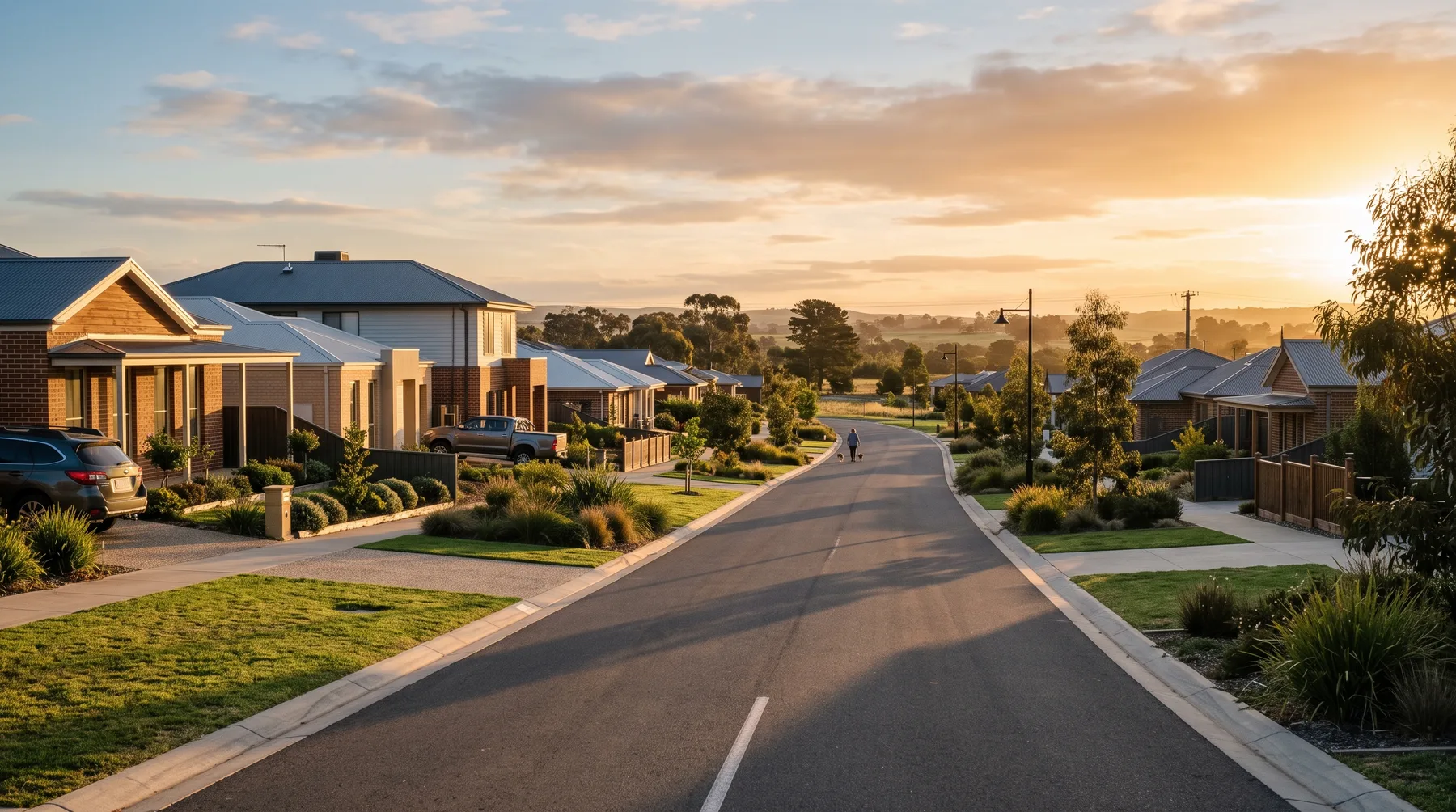
Images are artist's impressions and indicative only. They do not represent approved plans, final designs or any specific development.